FAQs
What is the intent behind this new format?
The working group intent was to develop a product that would provide information that would support a member to make good informed decisions using their skills, training and experience. This aligns with the Mission Command Principle.
The new format Local Response Data is a not a response plan, it is information that will enable the responding Incident Controller to make an informed plan.
What information will be available to brigades?
The information currently available in Local Response Plans that can be mapped will be available immediately when the product is released.
What information will not be included in the new format?
The things that can change due to other fire activity, local availability and unforeseen circumstance. Information of this type would be readily available by contacting either a Local Command Facility, DCC, or Rostered Duty Commander, information such as Radio channels, Bulk Water carriers and Fuel supply are examples.
Will the current Local Response Plans still be available on EMCOP?
No the PDF Local Response Plans will be withdrawn.
Will this information be available to the community?
No, the information is intended for an emergency response use, it has been gathered with this intent and the format chosen supports this intent. The Community has access to information relevant to their need through the CFA website ‘CFA Local’ or the Vic Emergency App.
How can I access the Local Response Data?
There are 3 direct ways.
A registered user with access to EMCOP will be able to access this information by adding a layer.
A member or a Command Vehicle with internet capability will be able to access eMap by adding a layer.
Alternatively, any member can access the information by downloading maps to their personal device using a mobile mapping application
If I don’t have a computer or internet access, how can I access the LRD?
The ability to print a hard copy map from an LRD is available. A previously downloaded LRD stored on your mobile device will be accessible without internet service.
There was a lot of work that went into the old LRP’s and they held valuable information. Why the change?
Research was commissioned in 2019 to evaluate the current LRP product.
This research has shown the information contained within an LRP was valued but the hard copy PDF version limited access and was not compatible with online Incident management systems currently in use.
What is different?
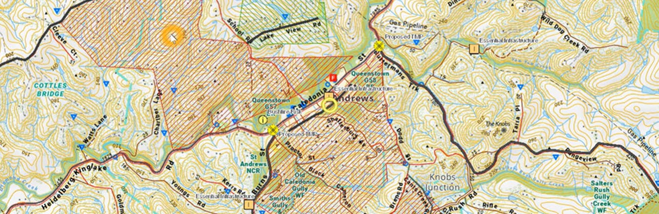
LRD is a spatial product compatible with current sector incident management systems. Being a map-based product, it can be easily accessed in the field, information is quick to access, visually displayed and being Geo-referenced, only local information will be displayed.
With this new product, what will be improved?
Member access to information that will assist their decision-making ability in an incident.
What are the advantages?
Being a spatial product will enable the information contained in an LRP to be displayed in Emap for field operations, on a map browser like Avenza to make it accessible to members. Being compatible with EMCOP to enable an increased use by Incident Management Teams and inter-agency personnel.
The spatial product will be Geo coded, a tablet in a vehicle or a mobile device with GPS enabled will be displaying the correct local information for that location, no manual searching involved.
There will be the opportunity to QR code the locality data and quickly provide this to incoming resources by text or potentially a QR code scan at a staging area.
How will information be added to an LRD?
An online tool will be released that will enable brigades to include additional information or update existing information within their brigade area in the LRD system.